Contact

Derrick Lark
GIS Coordinator
Email Derrick
Phone: 864-879-4307

Physical Address
301 E Poinsett Street
Greer, SC 29651

Greer's GIS Map System

What We Do

The mission of the City of Greer Geographic Information Systems (GIS) staff is to support the activities of the City of Greer and its citizens by providing and maintaining accurate, current, and complete geospatial data.

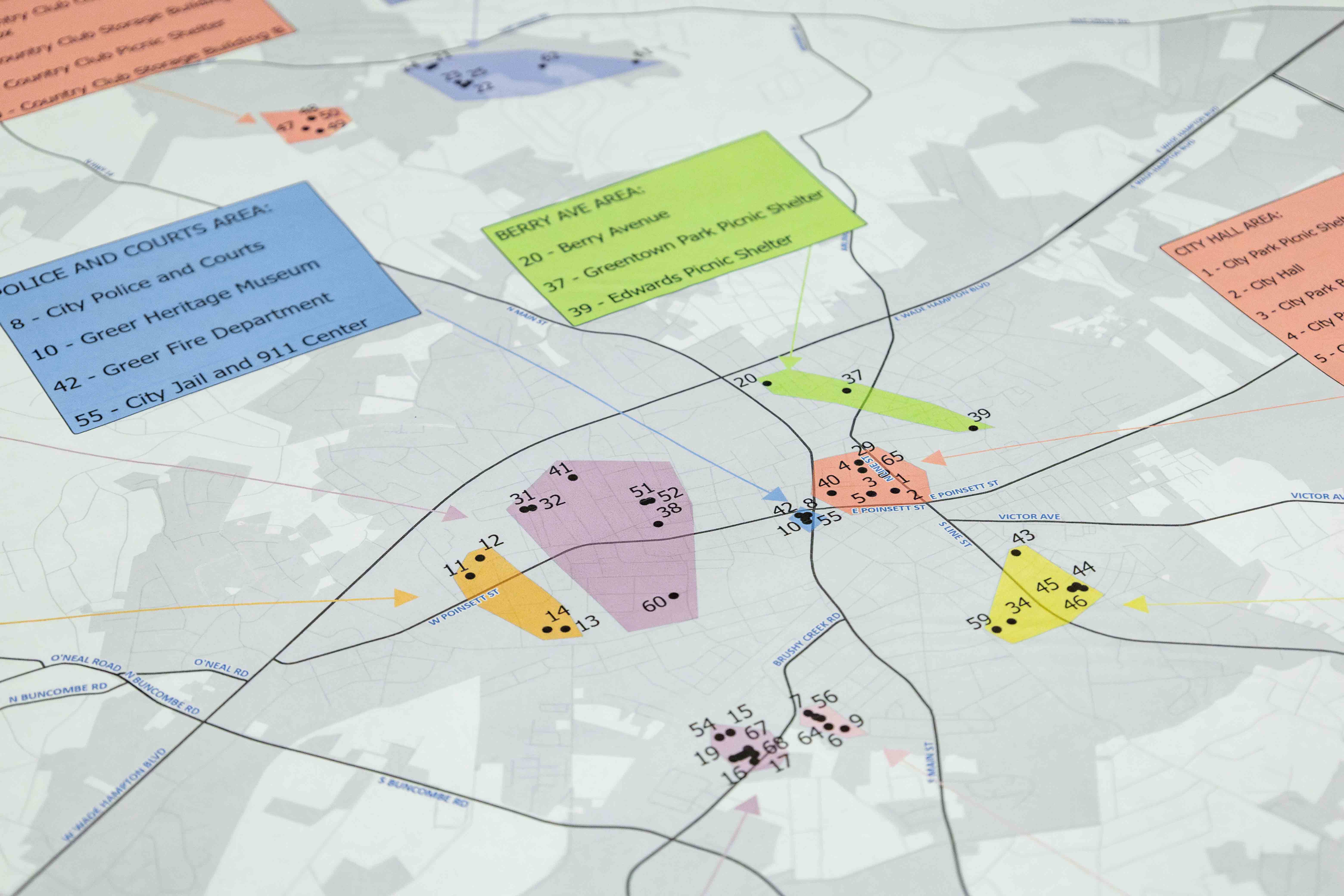
The geospatial data maintained by the city includes addresses, annexations, city limits, parks and recreation, streets, subdivisions, rezonings, upcoming project information, zoning, and much more.

The staff use GIS to provide fast and easy access to accurate online mapping data specific to Greer. GIS analysis and data exploration allow the city to make well informed decisions that impact the future of the city, and result in the improvement of its citizen’s health, safety, and quality of life.

Main Mapping Application

Use the buttons on the left of the application to navigate and toggle certain options. To toggle different maps/layers select the icon that looks like three squares stacked on top of one another. You can also choose different map designs and printing options. The buttons below toggle different versions of our GIS map as well. If you still need help, reach out to our GIS Coordinator Derrick Lark via his contact above. To view the map full screen in another browser, click the button below the map.